
Historical Ecology Atlas of New England
Document Type
Presentation
Publication Date
2012
Abstract
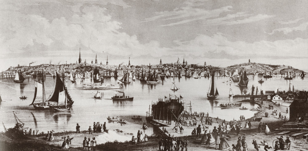
The Kennebec River has been considered one of Maine’s most important resources for at least the past 6-8 thousand years; its basin is located in west central Maine and drains 5,893 square miles, an area that is approximately one-fifth the area of the state. The river originates at Moosehead lake and runs 170 miles to the Atlantic Ocean. The river can be divided into two basins: the upper basin, which spans from Moosehead Lake to Waterville; and the lower basin, which spans from Waterville to the ocean.
Before the arrival of Europeans in 1606, the Abenaki Indians controlled the entirety of the long, twisting river. In fact, it is its twisting and turning nature that inspired the Abenaki to give it the name Kennebec, which means either “snakey monster” or “long quiet water.” The Abenaki exploited many resources from the river, however they primarily depended on it for transportation and trade.
Like the Abenaki, when Europeans settled at Popham Colony on the mouth of the Kennebec, they depended on the river for trade. The Kennebec was an ideal location due to its size and central location. Popham Colony dissipated in 1608, but the Kennebec River continued to be exploited, and still continues to be exploited, for its many resources.
In addition to its importance for transportation and trade, the Kennebec River basin has also been exploited for many other resources. The Kennebec has historically supported a productive anadromous fish fishery, while the fertile land in the river basin has supported agriculture. The roaring river has also provided water power for hundreds of years, and still provides power. Perhaps the most important resource the Kennebec River basin offers is logging. The river basin, which is 70% forested and contains both hard and soft-wood growth, has been harvested for centuries and continues to be harvested today.
Recommended Citation
Begin, Elise, "The Kennebec River: A Historic Maine Resource" (2012). Historical Ecology Atlas of New England. 5.
https://digitalcommons.colby.edu/heane/5
Rights
Included in
Natural Resources and Conservation Commons, Sustainability Commons, Terrestrial and Aquatic Ecology Commons, United States History Commons