• Home
  • Search
  • Browse Collections
  • My Account
  • About
  • DC Network Digital Commons Network™
Skip to main content

Atlas of Maine

  • Home
  • About
  • FAQ
  • My Account
  •  
  •  

Home > Environmental Studies > Atlas of Maine > Vol. 2018 > No. 2 (2018)


Volume 2018, Number 2 (2018)

Maine

PDF

Using GIS to model bike routes in Waterville and bike storage facilities at Colby College
Corin S. Balan

PDF

Using GIS to Assess Recreational Access to the High Peaks of Maine
Soren Denlinger

PDF

Determining Potential Risk Areas for Minnesota Water Features
Mariel R. Ferragamo

PDF

Wind Turbine Siting in Maine
Blaise Foley

PDF

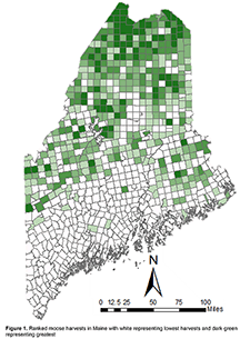
Mapping Big Game Harvests in Maine
Iain Kurry

PDF

Using GPS data to map and model Colby student public transit efficiency
Madeline Partridge and Mara V. McDonough

PDF

Modeling Salmon Habitats in Penobscot River, Maine
Curtis Zhuang

National

PDF

Identifying Lyme Disease Risk in Maine, Massachusetts, New Hampshire, and Vermont
Isa Berzansky and Keller C. Leet-Otley
Atlas of Maine volume 2018 issue 1


  • Journal Home
  • About This Journal
  • Aims & Scope
  • Environmental Studies Program
  • Submit Article
  • Most Popular Papers
  • Receive Email Notices or RSS


Advanced Search

 
Elsevier - Digital Commons

Home | About | FAQ | My Account | Accessibility Statement

Privacy Copyright