The Atlas of Maine is a series of maps developed by students in Introduction to GIS and Remote Sensing, an interdisciplinary course in the Environmental Studies Program at Colby College. The goal of this activity is to develop a series of maps highlighting the unique human and natural resources of Maine.
The Atlas maps (issue/number 1) emphasize "visual" GIS.
Student research projects (issue/number 2) emphasize "analytical" GIS.
Current Issue: Volume 2018, Number 2 (2018)
Maine
Using GIS to model bike routes in Waterville and bike storage facilities at Colby College
Corin S. Balan
Determining Potential Risk Areas for Minnesota Water Features
Mariel R. Ferragamo
Wind Turbine Siting in Maine
Blaise Foley
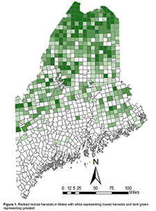
Mapping Big Game Harvests in Maine
Iain Kurry
Using GPS data to map and model Colby student public transit efficiency
Madeline Partridge and Mara V. McDonough
Modeling Salmon Habitats in Penobscot River, Maine
Curtis Zhuang
National
Identifying Lyme Disease Risk in Maine, Massachusetts, New Hampshire, and Vermont
Isa Berzansky and Keller C. Leet-Otley
